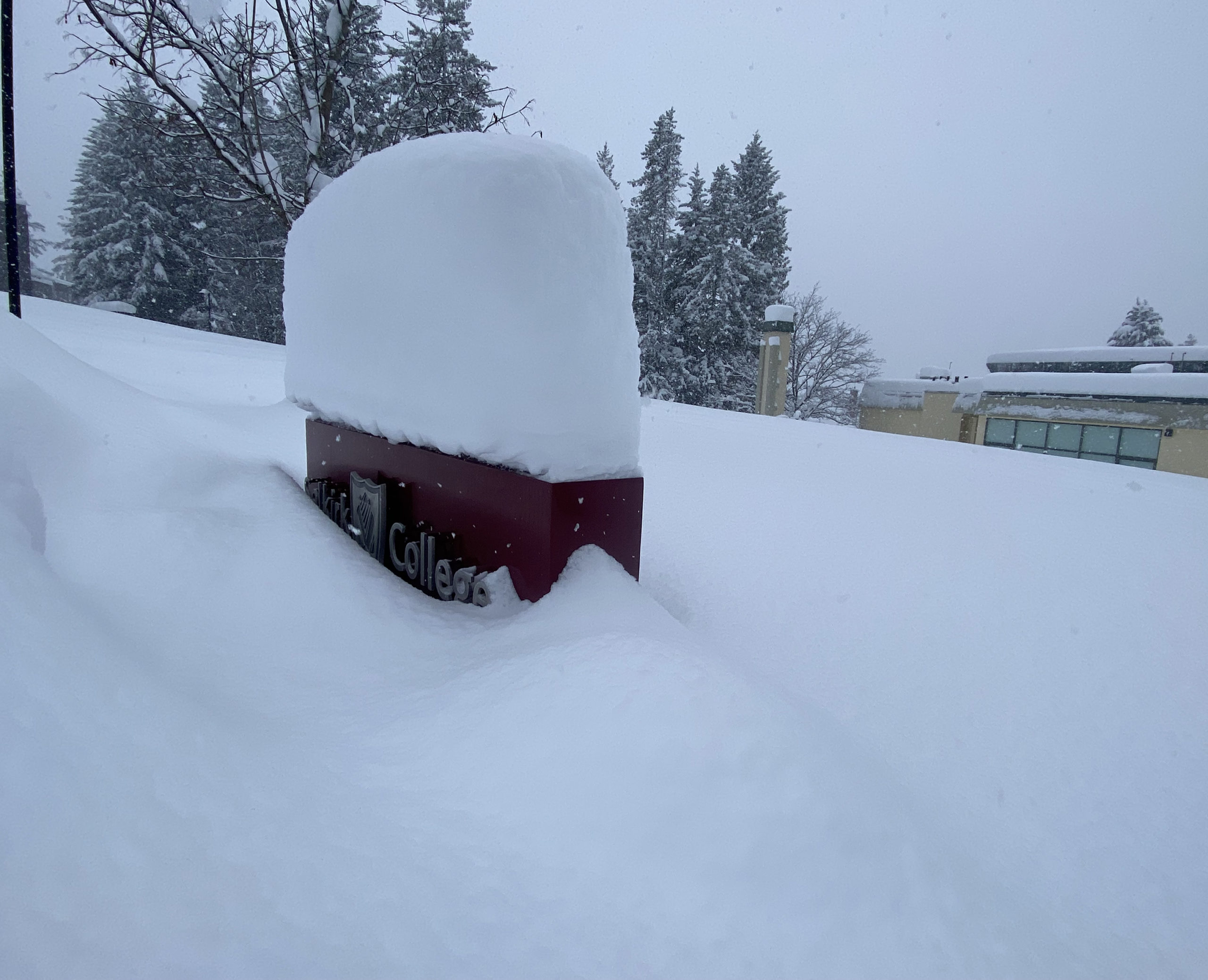
The Boundary is one of only two parts of the province with a higher-than-normal snowpack for this time of year, raising the potential for flooding this spring.
The B.C. River Forecast Centre says the Boundary was at 116 per cent as of Feb. 1, the second-highest figure in B.C. after the Okanagan, which stood at 121 per cent. The Kootenays were at 84 per cent and overall the province was at 79 per cent.
Hydrologist Jonathan Boyd said automated snow weather stations in the Boundary have shown high readings since the start at winter. At the same time last year, the region was at just 88 per cent of normal.
“The areas that were below normal last February are now above normal and vice versa,” Boyd said. “It’s essentially an inverse from last year with the snowpack.
“There’s still a ways to go, but the Boundary is certainly one area that is at greater risk for flooding just because of the snowpack.”
Boyd noted the extreme flooding that hit Grand Forks in 2018 was the result of a heavy snowpack, warm weather that melted it quickly, and heavy rainfall that followed soon after.
Boyd said the Boundary tends to get its greatest accumulation of snowpack in March, as storms “spill over and have a bit more energy in the interior.”
Province-wide, the wet start to February has already seen the snowpack in some parts of the province increase 10 to 12 per cent.
The next update will be on March 8.


