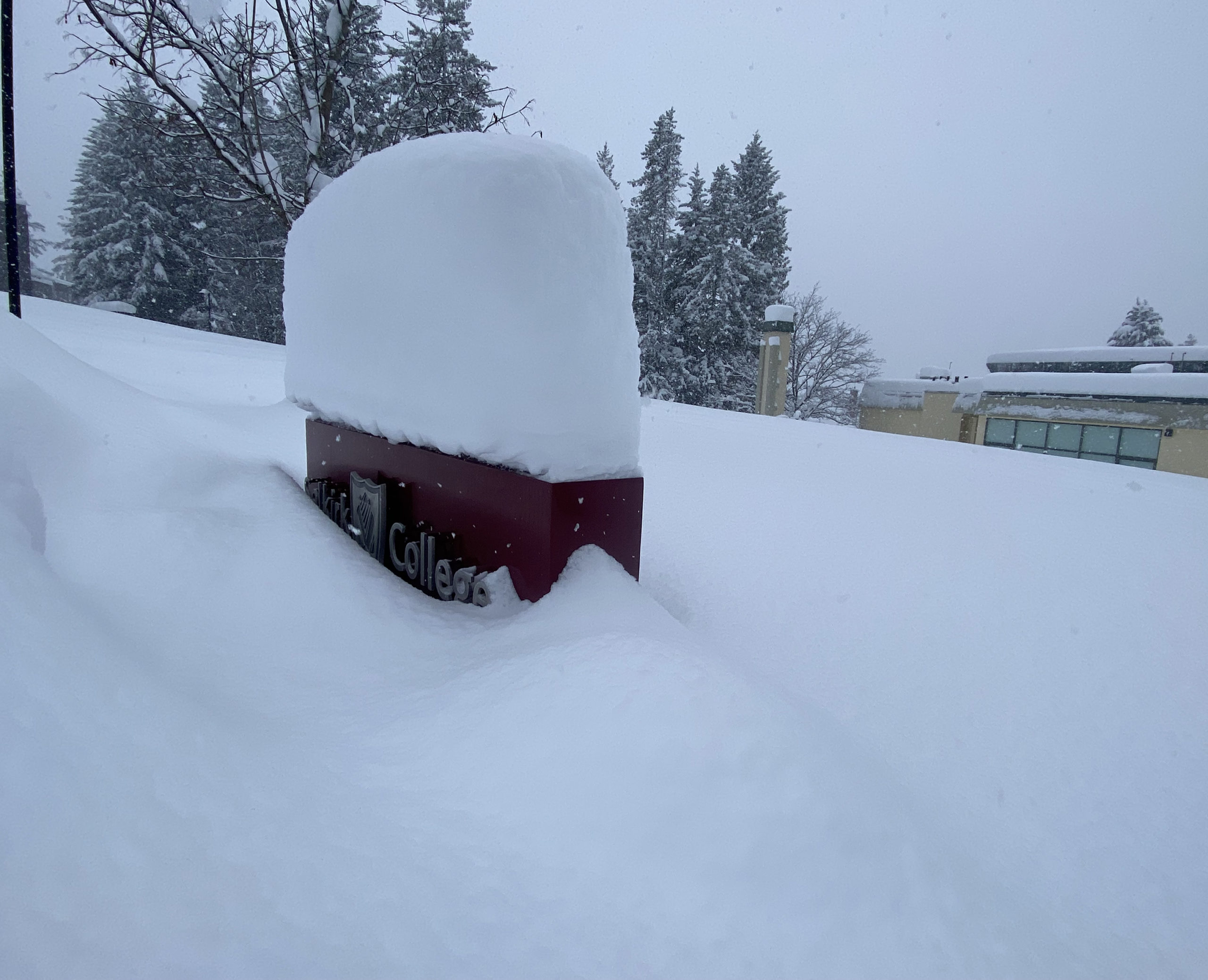
Significant precipitation last month saw the Boundary snowpack rise to 123 per cent of normal, further raising the possibility of flooding this spring.
That figure is included in the latest snow survey and water supply bulletin from the province, dated March 1 and released Wednesday. It’s up from 116 per cent in February and is the second highest in the province, behind only the Okanagan at 124 per cent.
Hydrologist Jonathan Boyd of the B.C. River Forecast Centre said that figure is a concern, although it’s not the only factor that will determine whether the region sees flooding this spring.
The Boundary can pick up a lot of snow in March and April some years, he said, although it isn’t guaranteed.
An automated monitoring station at Grano Creek that has collected data for 24 years had its second-highest reading ever on March 1, even higher than in 2018 which saw major flooding in Grand Forks.
However, Boyd noted in 2018, the Boundary had a very snowy start to March, so overall “the plot is trending a little bit lower.”
In a La Nina winter and spring, we will often get cooler and potentially wetter springs, leading to more snow accumulation and delayed snow melt, but Boyd said it’s still too early to know for sure.
“It all revolves around spring weather conditions,” he said. “Anything beyond seven days is just too unpredictable.”
While seasonal forecasts suggest it will be colder than normal for the next three months, snowpack increases usually come in big dumps rather than incrementally.
“We don’t normally get the snow increasing at a centimeter a day. It’s usually one big storm that dumps 10, 20, 30 centimeters and then scales off for a few days. If we get some storms like that, that will increase the risk.”
Continuing cool weather will also add to the risk, he said. Last year there was cold weather going into May, but there was no week-long heat wave.
Boyd said in 2018, Grand Forks was hit with a worst-case scenario with a high snowpack, late start for melt, and hot weather for a week followed by very widespread heavy rain.
“It’s still on the table and too early to rule out,” he said of this year’s flood risk.


